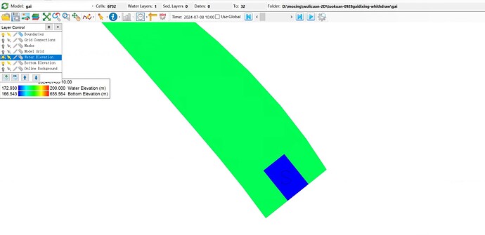
Hello everyone, I am using the EFDC version 11.8 software for river water quality simulation. When I set the downstream boundary of the river as an open boundary and specify the water level elevation, why is the water level at the boundary grid different from the water levels of the surrounding grids (as shown in the figure below)? Only the water level at the boundary location is based on the elevation value I specified, while the water levels of the surrounding grids are significantly higher than the water level elevation I set.
Hi l_xiaomeng94
This may be related to the incorrect direction of the opening boundary,
or it may be that the bottom elevation of the opening boundary area is not reasonable,
BMHoa
